Drone Photography in Vienna: Rules, No-Fly Zones and What Is Actually Possible in 2026
Most of central Vienna is restricted airspace, but drone photography is still possible for many properties — with registration, insurance, and the right zone check. Here is how it works in 2026.
Short answer: yes, drone photography is possible in Vienna in 2026 — but not everywhere, and not casually. Large parts of the city sit inside restricted geo zones, every operator must be registered and insured, and commercial flights near people or buildings need careful planning. The practical consequence for clients: whether your property can get aerial photos depends mostly on its address, and a serious drone photographer will check that before quoting, not after.
This article explains the rules as they affect a photography client — without the aviation-law deep dive.
The legal baseline every operator must meet
Drone flights in Austria follow the EU drone framework, administered locally by Austro Control. Before any commercial photo flight, the operator needs:
- Operator registration — a registration number that must be displayed on the drone.
- Drone liability insurance — mandatory in Austria, not optional as in some EU countries.
- A remote pilot certificate appropriate to the drone class and flight category.
- A geo-zone check for the exact address — Austria publishes interactive maps of restricted zones, and Vienna is dense with them.
If a photographer cannot show you a registration number and proof of insurance, the flight is not legal, and you do not want the resulting images in your marketing.
Vienna's geography of restricted airspace
Vienna is one of the harder European capitals to fly in. The main constraints:
- The airport control zone around Schwechat covers a large slice of the southeast, with tight altitude restrictions reaching deep into the city.
- The inner districts carry dense restrictions due to population density, government buildings, and embassies.
- Hospitals, prisons, and military sites each carry their own exclusion radii.
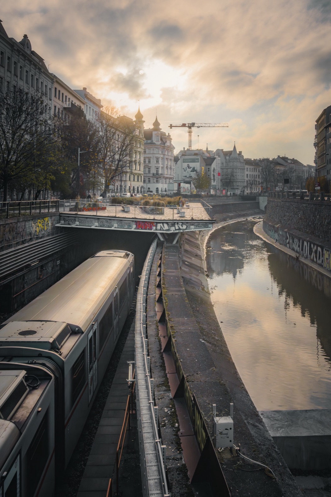
What that means in practice: a spontaneous drone shoot over Stephansplatz is fantasy, but a planned flight over a residential development near the Danube, in the outer districts, or on the city's edges is very often achievable. The map decides, and the map has to be checked for the specific address every time — zones change.
What this means for real estate projects
For real estate marketing, the question is rarely "can drones fly in Vienna" and almost always "can a drone fly at this address, at what altitude, and with what paperwork." Three typical scenarios from my own work:
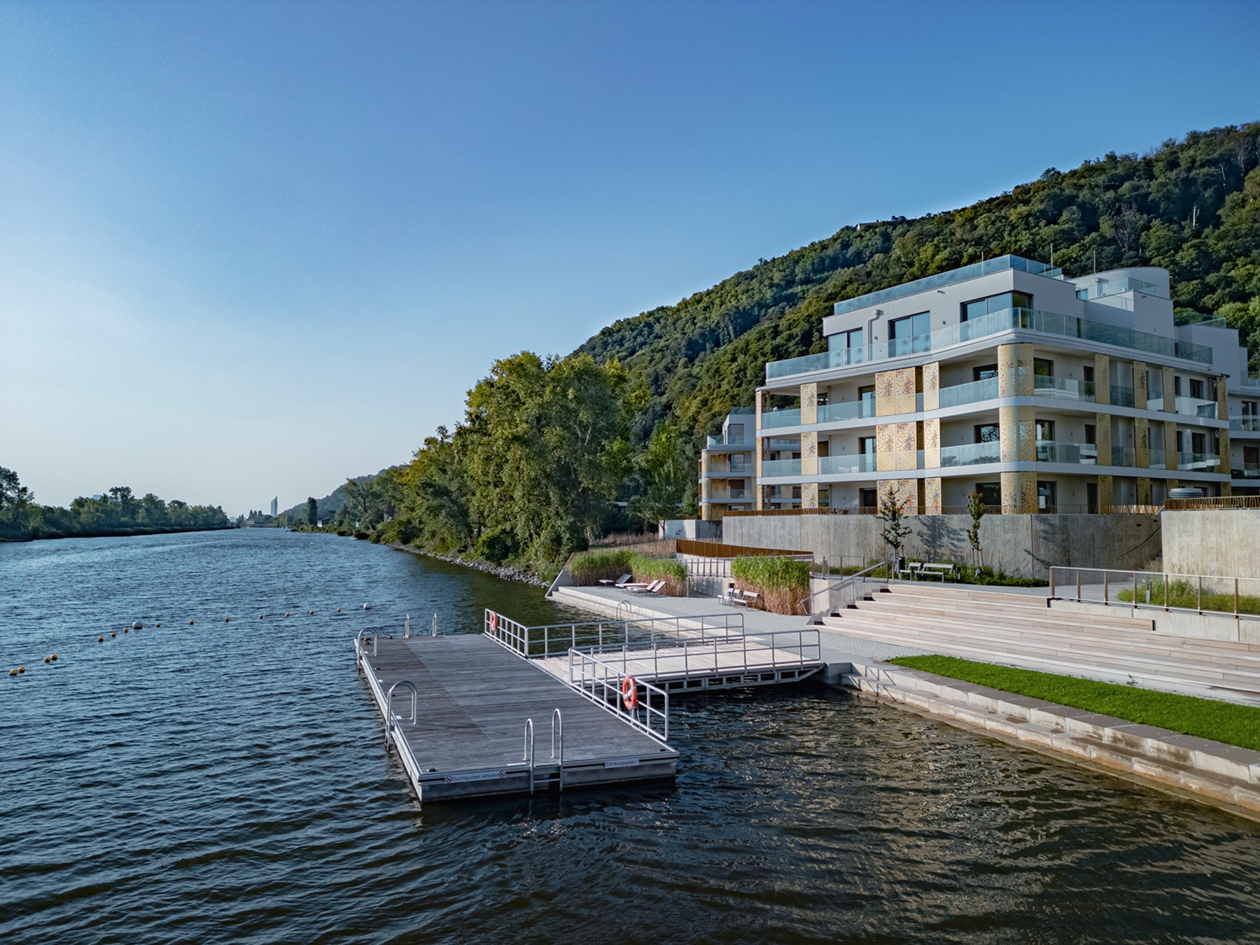
The new development on open ground. Projects along the Danube or in developing districts often sit in flyable zones. These shoots are the most rewarding: an elevated golden-hour frame showing the building, the water, and the infrastructure in one composition does more selling than ten interior photos.
The courtyard building in a middle district. Often possible at limited altitude with careful positioning, sometimes from the property's own grounds. The frame is lower and tighter, but an elevated 30-40 m perspective still shows the roofscape and the courtyard in a way street-level photography cannot.
The first-district address. Usually no realistic legal option. The honest alternative: elevated shots from a neighbouring rooftop or upper-floor window with a wide lens. Clients are sometimes surprised how close this gets to the "drone look" — most viewers cannot tell a 25-metre drone frame from a rooftop frame.
Why golden hour is the standard for aerial work
Almost all of my drone work happens in the roughly 90-minute window around sunset (or sunrise, for the committed). Three practical reasons:
- Low, warm light models the architecture. Midday sun flattens facades; raking light gives them depth.
- Contrast is manageable. Drone sensors are small; harsh midday contrast costs detail in shadows and skies.
- The city looks alive but not chaotic. Streetlights start to glow, windows light up, and the frame gets atmosphere a noon shot never has.
Daylight rules still apply — the legal window runs roughly from sunrise to sunset — so a "twilight" drone frame is really a carefully timed shot in the last legal minutes, finished with editing.
What a legal drone shoot costs and takes
A drone add-on for a Vienna property typically adds €80-€200 to a photo package and one planning step: I check the geo zone for the address when booking, and tell you immediately whether the flight is possible, possible-with-limits, or off the table. The shoot itself takes 30-60 minutes on site. Files are delivered with the regular photo set in 48-72 hours.
What you should never pay for: an operator who "doesn't worry about the zones." Fines in Austria are substantial, and marketing built on illegal footage is a liability for the seller and the agent, not just the pilot.
Planning an aerial shoot for your property
If you are marketing a property or development in Vienna and want to know whether drone photography is realistic at your address, send me the address — I will check the airspace and reply with a clear yes, no, or yes-with-limits, plus a quote. You can see recent aerial work in my real estate and drone portfolio.